Manual extensión 3D y animación gvSIG 1.9 - 3D - Trabajo con capas en 3D - Herramienta de información
Like many of the tools available to the 2D, the information tool has been adapted to be used in the 3D plugin and it works just like in the version for 2D views. To access from the toolbar press the button:

Information button.
or from the bar menu "View / Search / Information.
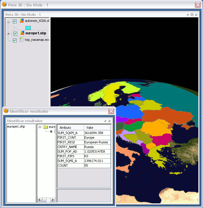
To obtain information about each of the elements of the map the "Information Tool" is used.
When you click on any element with this tool, gvSIG shows, in a dialog box, the attributes of that element. For that to function the layer in which the feature you want to identify has to be activated in the TOC